ATS takes precise GNSS positioning to Indian mines with the Quectel QLM29HxAA
Aniruddha Telemetry Systems Pvt Ltd. (ATS) is a Mumbai, India-headquartered specialist in helping customers achieve visibility across their production systems. A key market for the company is the mining sector in India, which it supports with its DIGImines GNSS positioning product. DIGImines is a fleet management system that helps the heavy equipment in mines to be better utilized, reducing idle and queue time.
The system provides a 360⁰ view of mine activities in multiple domains, helping to optimize manpower and cost production elements. DIGImines provides trip counts, lead distances, and information on bad road conditions to the control room as well and information and navigation inputs onto the display of the equipment operator.
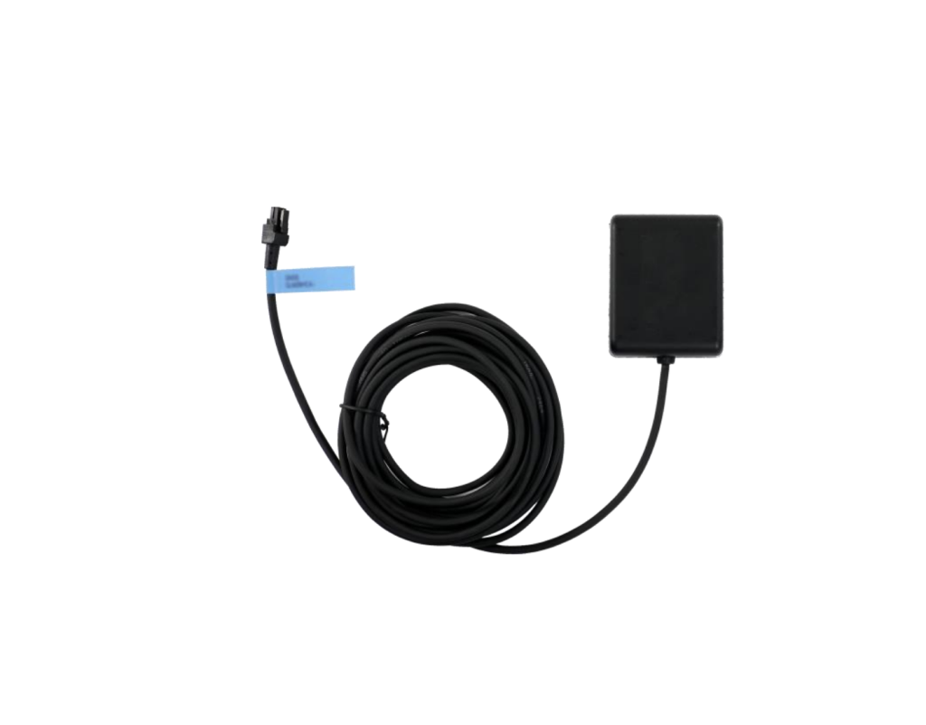
The company has been a long-term user of Quectel modules, first using Quectel products in 2012. It has utilized the popular Quectel L20, L80, L85, M66, M72, and EC200 modules, and now, for DIGImines, it is using Quectel’s QLM29HxAA global navigation satellite system (GNSS) smart antenna receiver. This is a dual-band, multi-constellation smart antenna that features real-time kinematic (RTK) and dead reckoning (DR) functions to ensure precise GNSS positioning of assets.
The product helps us precisely locate assets and improve their productivity, and V2X peers are now able to receive much better location information. Quectel helped with product identification and customization to meet our requirements. The support ecosystem is much more robust at Quectel than at other competitors. The field application engineers are also cooperative and try to resolve the issues in a time-sensitive manner.
Amit Ashok, Director of ATS
ATS is focused on automating and optimising processes in mining and heavy industries, which involve high-value assets that often change location. “Most of our projects are in mining areas where the GNSS signal faces the multipath effect or is not always available,” Amit Ashok, Director of ATS, explains. “The QLM29HBAAGM00AAASM-5, along with the RTK base station, helps us to have continuous GNSS coverage with high precision. Under the sky, we are now able to exactly locate the haulage units and other heavy earth-moving machinery (HEMM) units along with bench details, which was not possible without the QLM29HxAA. We are also able to locate assets underground using the product.”
The QLM29HxAA family offers a dual-band, multi-constellation smart antenna device with a built-in Quectel high-precision LC29H module and L1 and L5 band high-performance ceramic antennas. Concurrent reception of L1 and L5 GNSS band signals enhances satellite visibility, reduces multipath interference, and improves GNSS positioning accuracy, even in challenging environments like urban canyons.
“We’re delighted to continue our long relationship with ATS through its adoption of the QLM29HxAA GNSS smart antenna receiver,” said Yasu Okada, Senior Sales Director for APAC, Quectel Wireless Solutions. “It’s great to see ATS bring innovation to high-value mining assets, enabling precise location both in open sky and underground situations. We look forward to supporting ATS and its customers as they benefit from precise positioning.”
Supporting concurrent reception of global and regional GNSS constellations such as GPS, GLONASS, Galileo, BDS, and NavIC, the QLM29HxAA features dual frequency support, providing enhanced positioning accuracy of 1m in autonomous mode and centimeter-level precision in the RTK capable model. The dead reckoning function delivers superior positioning performance in areas with weak or absent GNSS signals. With its storage temperature of up to 105°C and IP67 waterproof protection, the QLM29HxAA offers exceptional reliability in harsh working environments. It is especially suitable for micromobility, agricultural navigation, mining, driving recorders, vehicle insurance data collection, rugged tablets, and golf carts.
“Before this product, it was extremely difficult to locate assets both in open-cast mines and underground,” adds Ashok. “After deploying this solution, we were able to solve many issues related with wrong location. The product helps us precisely locate assets and improve their productivity, and V2X peers are now able to receive much better location information.”
Ashok is pleased to continue using Quectel products in ATS’s offerings. “Quectel helped with product identification and customization to meet our requirements,” he said. “The support ecosystem is much more robust at Quectel than at other competitors. The field application engineers are also cooperative and try to resolve the issues in a time-sensitive manner.”

